Contracted Drone Operations.
Custom Automation. Expert Repair.
Aerial Autonomy designs, builds, flies, and maintains professional unmanned aircraft — delivering survey-grade data, mission-ready platforms, and factory-level service from the Central Oregon Coast.
FAA Part 107 Certified
Every mission is planned and flown by certificated remote pilots operating under FAA Part 107.
NDAA & Remote ID Compliant
Our fleet is built on trusted, compliant hardware — suitable for government and enterprise engagements.
In-House Engineering
Airframes, autopilots, payloads, and software are designed, integrated, and tuned by our own team.
Rapid Regional Deployment
Based on Highway 101 in Newport, we mobilize quickly across the Oregon Coast and Willamette Valley.
Three Practice Areas. One Standard.
From flying complex data-acquisition missions to engineering fully custom aircraft and restoring damaged platforms to airworthy condition — we cover the entire lifecycle of professional drone operations.
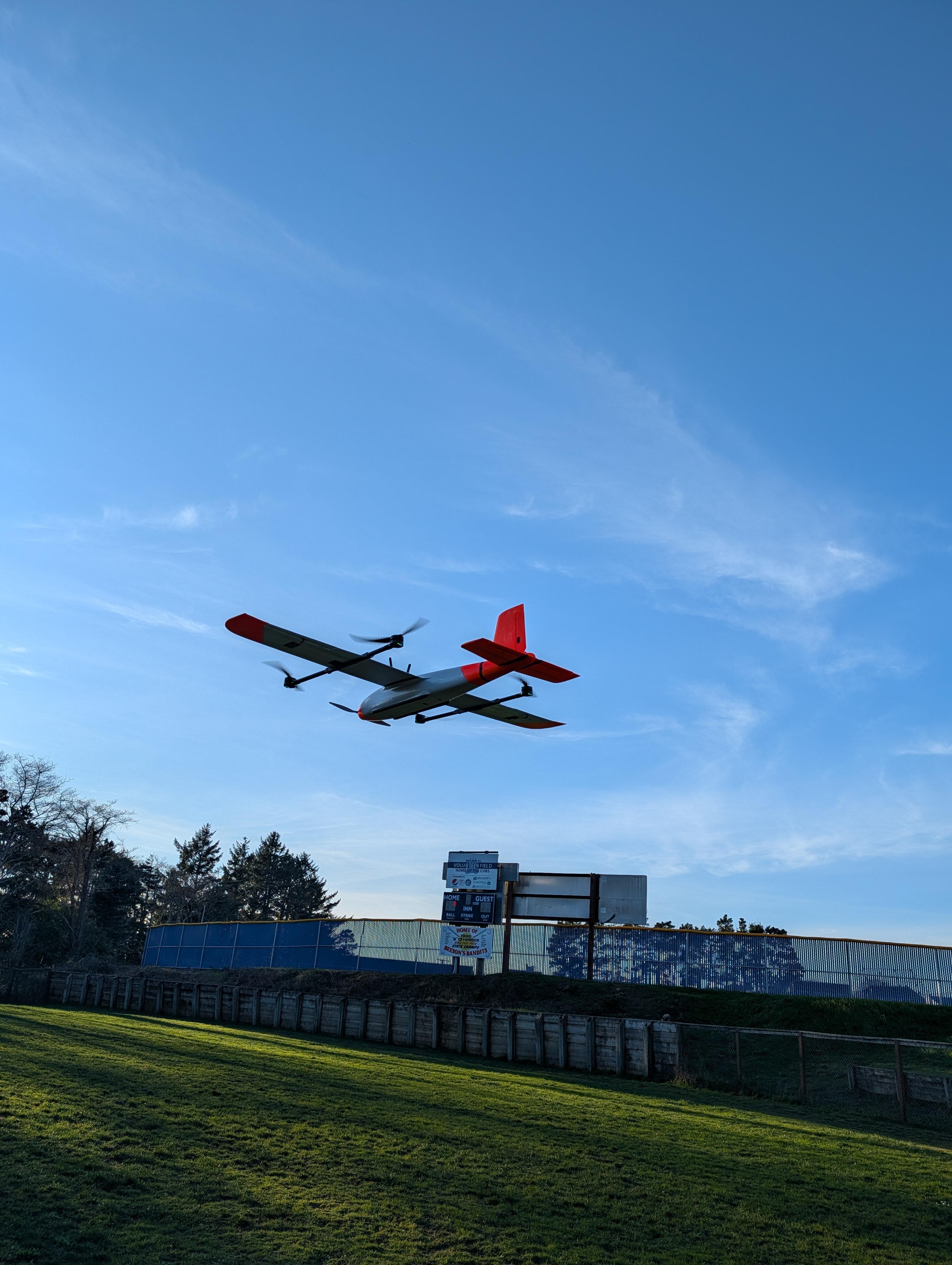
Contracted Drone Work
Our flagship service. Aerial mapping and photogrammetry, thermal inspection, locating and search support, and cinema-grade photography — flown by certificated pilots and delivered as actionable data.
Explore Operations →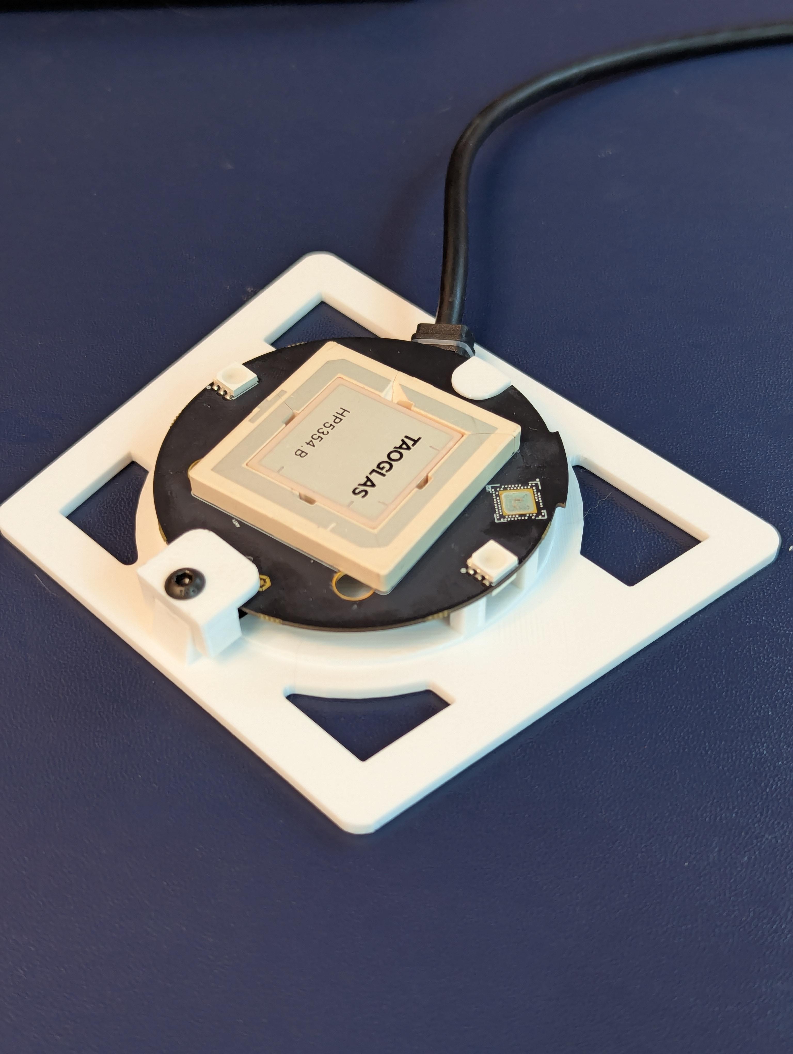
Automation Solutions
Custom aircraft, autonomy software, and payload integration built on ArduPilot and PX4. We engineer platforms and workflows around your mission — not the other way around.
Explore Engineering →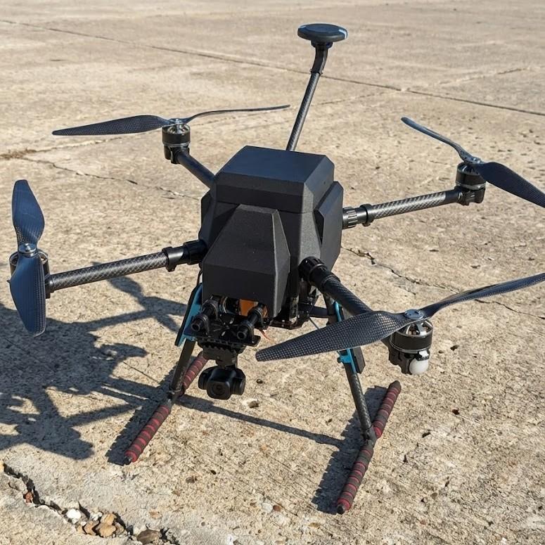
Drone Repair
Component-level diagnostics, crash rebuilds, firmware and tuning services for commercial and custom platforms. We return aircraft to airworthy condition — and prove it with test flights.
Explore Repair →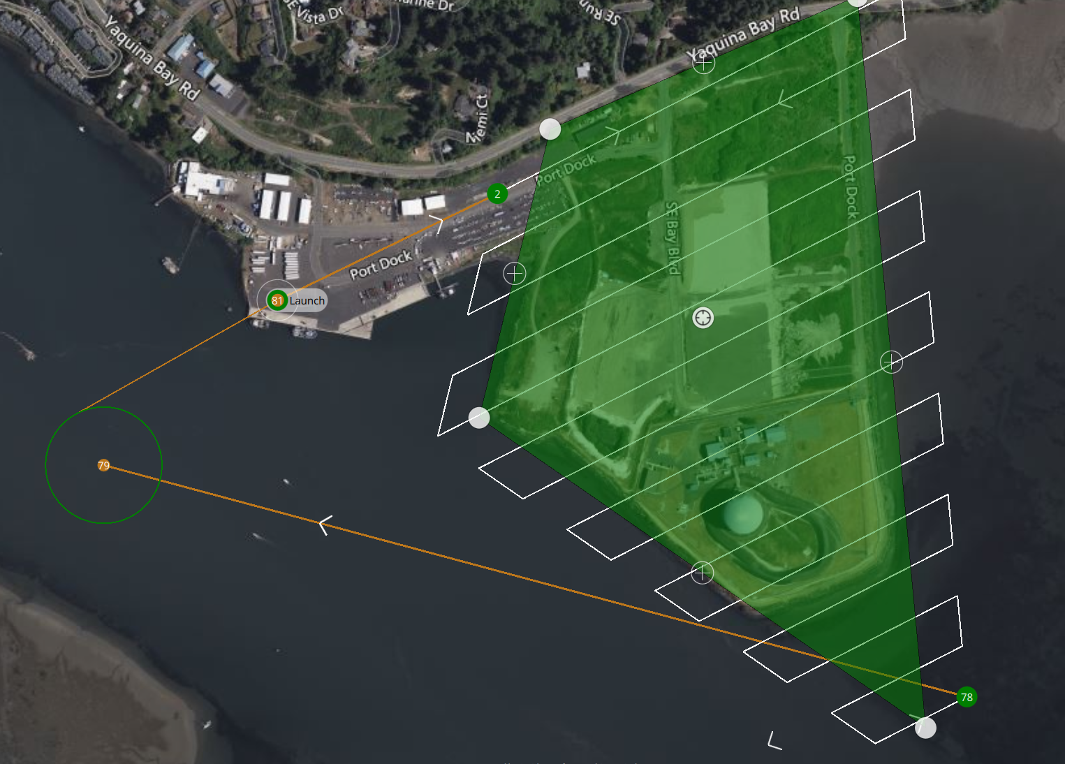
Engineering-Grade Aerial Data
We fly RTK/PPK-enabled aircraft on fully automated mission profiles to produce survey-grade orthomosaics, 3D models, and digital elevation products with centimeter-level accuracy.
- Mapping & photogrammetry for construction, land use, and topography
- Radiometric thermal for inspection, locating, and search support
- Automated flight plans that are repeatable for progress tracking
- Deliverables that drop into your workflow — GeoTIFF, LAS, OBJ, CAD
A Purpose-Built Fleet
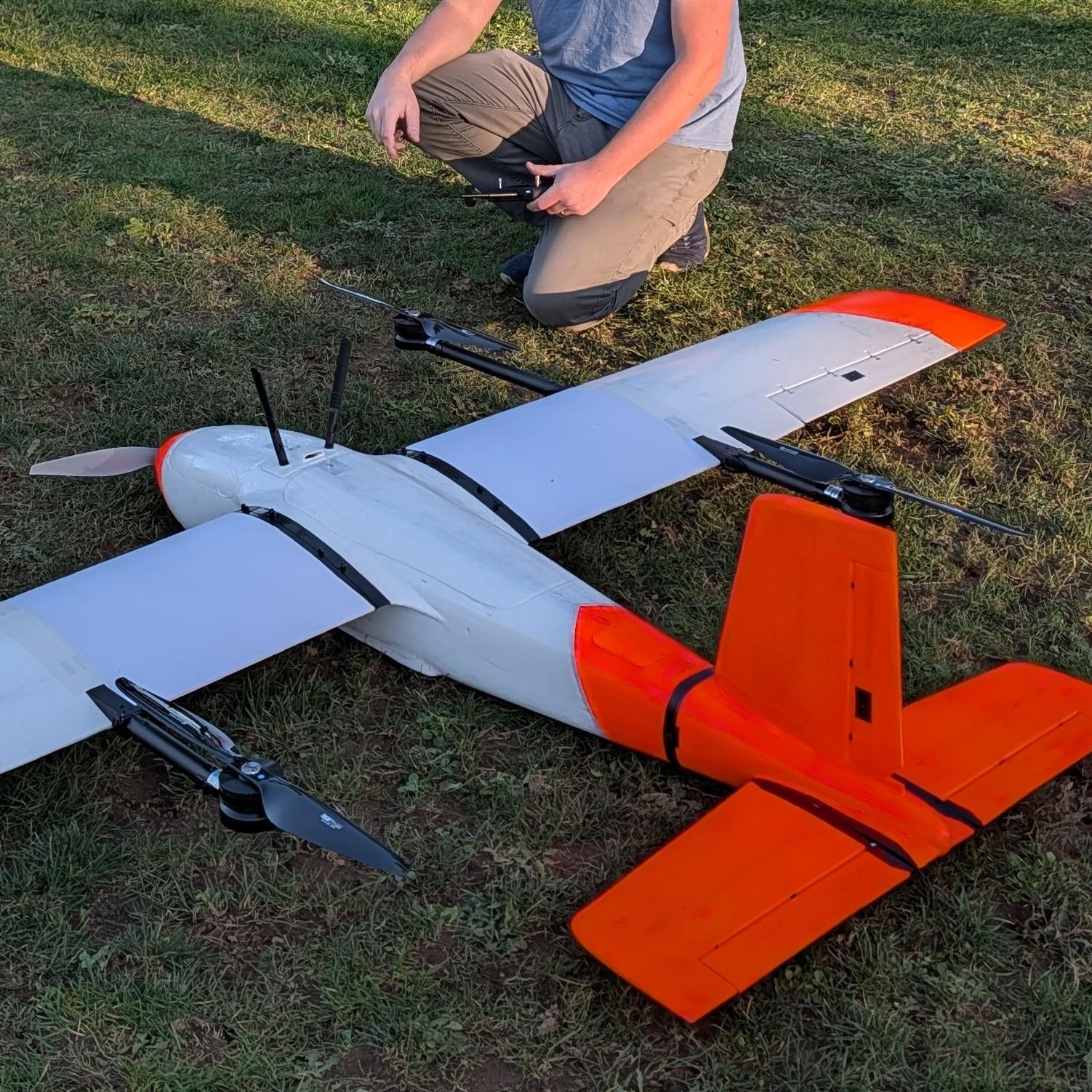
Off-the-shelf drones make compromises. Ours don't have to. Every airframe in our fleet — from the 650 mm Scorpion survey quadcopter to the 2.4 m Albatross hybrid VTOL — is configured, tuned, and proven for a specific class of mission.
Built on the Cubepilot ecosystem with Herelink HD transmission, our aircraft carry thermal, high-resolution optical, LIDAR, and specialty sensors — with onboard computing for AI-assisted missions.
Part 107 Ground School
We believe expertise should be demonstrated, not claimed. That's why we built and maintain a complete FAA Part 107 ground school — an interactive study application covering airspace, weather, loading and performance, regulations, and operations. Use it to prepare for your own Remote Pilot certificate, free of charge.
Industries
Our clients range from private landowners to firms that need recurring, reliable aerial data and equipment support.
From First Call to Final Deliverable
A disciplined process keeps missions safe, legal, and on schedule.
Consult
We scope your objective, site, airspace, and deliverables — and give you a clear, itemized proposal.
Plan
Airspace authorizations, risk assessment, and automated flight plans are prepared before we ever roll a prop.
Fly
Certificated pilots execute the mission with the right airframe and sensor package for the job.
Deliver
Processed, quality-checked deliverables in the formats your team already uses — with a debrief on request.
Built on the Oregon Coast
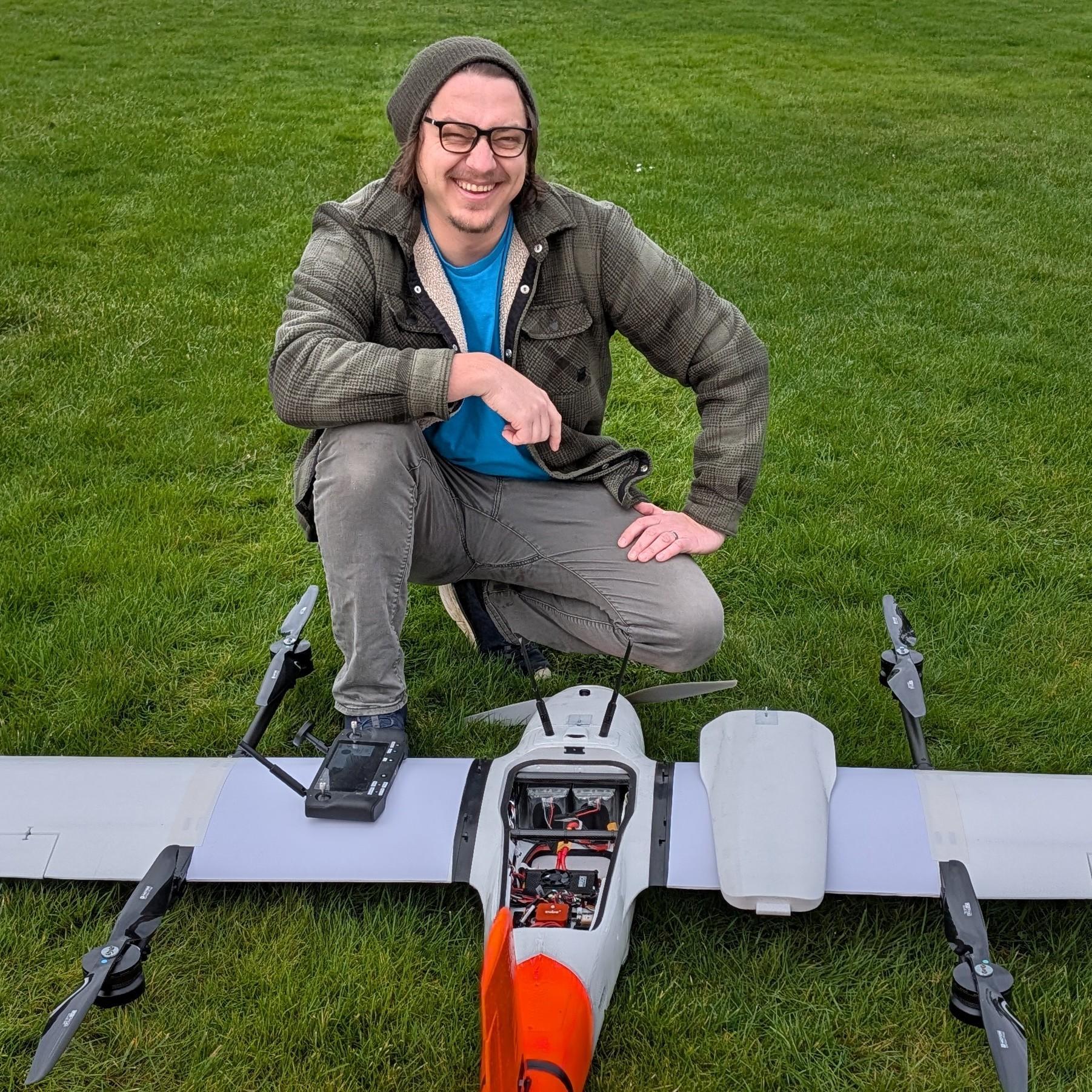
Aerial Autonomy was founded in Newport, Oregon — just off Highway 101, in the shadow of the Yaquina Bay Bridge — on a simple premise: professional drone work demands more than a drone. It demands engineering depth, airmanship, and accountability.
Led by founder and chief pilot Parker Hill, a software engineer and FAA-certificated remote pilot, our team combines aviation discipline with hands-on systems engineering: we write the software, build the airframes, and fly the missions.
When you work with Aerial Autonomy, the people who engineered your aircraft and planned your mission are the same people standing behind the results.
Have a mission in mind?
Tell us about your project — mapping, inspection, a custom platform, or a repair — and we'll come back with a plan and a quote.
Request a Quote